Need for Downscaling Hazard Assessment, a key to unlock contextual knowledge.

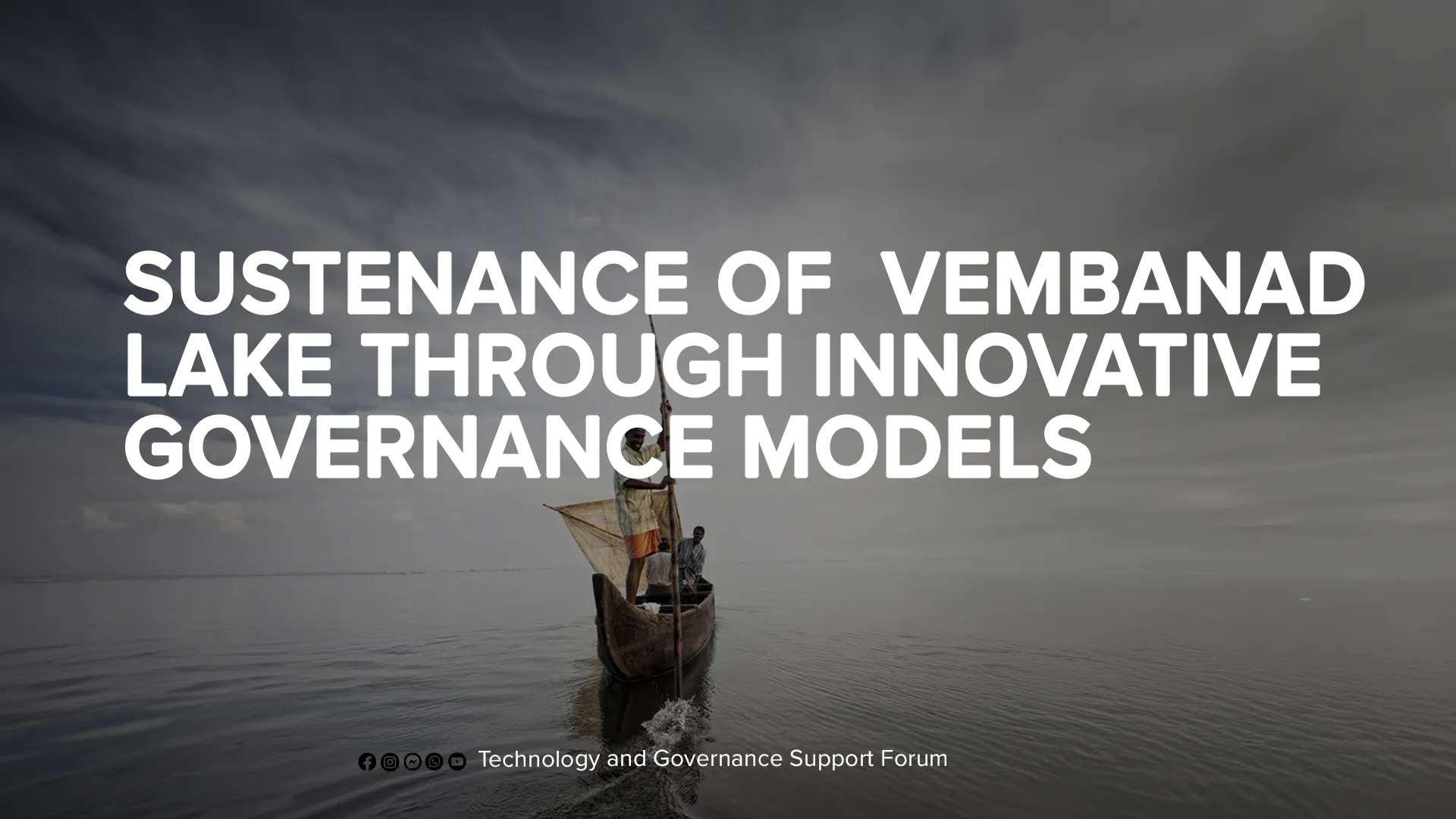
Kuttanad is a low-lying region situated in the southern Indian state of Kerala that has been affected by the severe effects of climate change, including floods that occur even during summer months due to bund breaches. The area is characterized by extensive water coverage and is situated 1 to 2 meters below sea level. Despite these challenges, human ingenuity has allowed life to thrive in Kuttanad through the creation of human-made bunds, known as ‘madas’. These bunds serve as a vital shield, protecting not only the fields but also the institutions and homes located within them, making them an essential aspect of the area’s survival. In this article, we will explore the importance of participatory study unlocking the contextual speciality of a region and the need of downscaling hazard assessment for better understanding.
Kuttanad a reclaimed land
The history of paddy cultivation in Kuttanad can be traced back centuries. There is no recorded history of the origin of this land. But the oral history among local people, transferred from generation to generation is a blend of myths and legends. The main motive behind the Kayal reclamation in the Kuttanad wetland was to increase food production and bring more land under paddy cultivation. It is interesting to note that the labour force used for Kayal reclamation in the past mainly represented the marginalized population. Generations of hard work and suffering created the Kuttanad.
When a hazard becomes a disaster
Kuttanad has emerged as a locale where the ramifications of climate change have become palpable. An area laying below sea level and characterized by its extensive water coverage; unexpected floods caused by bund breaches have created significant challenges for the people of Kuttanad. To address these challenges, there is a pressing need to develop and maintain the bunds, taking into account emerging issues related to climate change. Presently, floods in Kuttanad surge even during summer months, owing to bund breaches. Information obtained from Krishi Bhavan reveals that Kainakary, the lowest area of Kuttanad, has witnessed floods during the months of May, June, and December post-2018. The local topography is accountable for these summertime floods that cannot be classified as natural disasters.

Need of downscaling hazard assessment
Numerous research endeavours have been conducted in Kuttanad with the aim of comprehending the flood pattern of the region. The reliance on remote sensing data has been significant in these studies; however, the scale of the data poses limitations. Remote sensing relies on satellite images and information to produce flood inundation maps. Regrettably, the current flowed IPCC/global framework for hazard analysis scales down to a maximum of a panchayat level only. However, these political boundaries are insufficient to take into consideration of the grassroots-level change in hazards occurring within the panchayat.
Earlier studies in Kuttanad concentrated on analyzing the intensity of floods by evaluating the inundation levels during flooding. As a region situated below mean sea level, Kuttanad is naturally prone to being underwater. Nonetheless, the elevation model data acquired from satellites through remote sensing was not able to incorporate the contextual nuances of Kuttanad.
This predicament highlights the pressing need for contextual studies to understand the diverse flood patterns and identify highly hazardous areas within Kuttanad. Only through a detailed contextual study can one hope to obtain an in-depth understanding of the flood pattern of the region. By doing so, we can gain crucial insights that will aid in mitigating the disastrous impacts of flooding and facilitate better management of the region’s water resources.
A study with public participation.
Over the past year, a study has been conducted to understand the characteristics of bunds and the effects of both nature and human activity on them. This study was carried out with the participation of the local public and provided a deeper understanding of the area’s physical conditions, including the subsidence that has been observed.
Moving forward, it is critical to continue to involve the local community in efforts to monitor and protect the bunds that are so essential to Kuttanad’s survival. By doing so, we can ensure that this unique and invaluable area continues to thrive despite the challenges posed by climate change and other emerging issues.

The study initiated by the research team aimed to gain a comprehensive understanding of the characteristics and peculiarities of bunds, with Kainakary in Kuttanad as the focal point of investigation. In collaboration with the Patasekara Samiti, a detailed survey of the area was conducted to document various elements and changes in the nature of bunds. The objective was to discern the physical conditions that cause bunds to breach and comprehend the influence of regional characteristics on the breach of bunds.

To determine the velocity of the rivers flowing parallel to the bunds, HEC-RAS was utilized, providing insight into the flow velocity that could lead to a breach. The bunds were further categorized into 25x25m squares on a GIS software-generated map, with characteristics recorded through a transect walk using a mobile application known as ODK Collect. This process was also employed in other fields in Kainakary, and the information gathered was mapped using GIS software.
Ways for capturing contextual knowledge
The study classified the factors influencing bund breach, employing AHP and photovoice methodologies to ascertain their value.
Photovoice, a participatory action research methodology, has proven to be an effective tool for researchers seeking to gain insight into the lived experiences of underrepresented and underserved populations. The approach involves the use of photography as a means of expression, enabling participants to document and share their unique perspectives through visual storytelling.

Based on the information obtained, the paddy fields were categorized according to their hazard risk value, and a risk map was constructed. However, the dynamic interactions between nature and man in Kuttanad result in constant changes to the structure and characteristics of the bunds. Therefore, the study emphasizes the need for regular revision of the risk map to maintain its relevance.
In summary, the study employed a comprehensive approach involving field surveys, data analysis, and mapping using GIS software. The findings have significantly contributed to our understanding of the physical conditions that cause bunds to breach and the construction of a hazard risk map for the bunds of Kuttanad. The contextual study with public participation led to the understanding of Kuttanad’s own informal flood governance system. A system developed through time, where farmers act as an army in front during a wartime situation like a flood. A group who guards and protects the bund. An army with no uniform, The Padasekara Samiti.
Flood Governance System
Panchayats are responsible for basic rescue and relief operations during floods, it is the Padasekara Samiti’s responsibility to mobilize resources and tackle flood-related issues. The district administration is responsible for providing basic resources required for disaster management. The Padasekara Samiti plays a crucial role in the maintenance of the flood governance system. If water seeps into the paddy field, it is pumped out, and if any defects are found in the bunds, the Samiti repairs them. The efficiency of the Padasekara Samiti is critical for effective flood governance.

Challenges Faced by Padasekara Samiti:
The Padasekara Samiti faces numerous challenges in performing their duties effectively. One of the significant challenges they face is the changing climate patterns that have resulted in frequent and intense floods, which put a tremendous strain on the Samiti members. The lack of resources and modern equipment also poses significant challenges for Samiti. Most of the Samiti members are small-scale farmers who have limited resources, and they have to rely on manual labour to maintain the flood governance structures.
Need for a dynamic mapping and an early warning system
The study also suggests the implementation of a real-time monitoring system to improve flood management in Kuttanad. The system would involve the use of a mobile application to monitor the condition of the bunds in the paddy fields. This would allow for early warning and rapid response to any potential flood events and repair of bunds.
In conclusion, the flood governance system in Kuttanad faces significant challenges due to the effects of climate change. To address these challenges, there is a pressing need for improved communication and coordination between the various stakeholders involved in flood management, including the Padasekara Samiti, panchayats, and the district administration. The implementation of a real-time monitoring system and hazard mapping can also significantly improve flood management in the region.
Cloud sourcing with the help of data collected through tailor-made mobile applications can be used. Dynamic hazard map preparation and early warning by using this data can pave the way for new developmental plans under local self-government. By taking these steps, we can ensure that the people of Kuttanad can continue to thrive despite the challenges posed by climate change and other emerging issues.
Authors

Akshay H
Project technical assistant, IIT Bombay

Seethal S
Project technical assistant, IIT Bombay

Akshay Suresh
Former Research intern, KILA

Rohit joseph
Managing Director, Tags Forum

Prof. NC. Narayanan
Head – ADCPS, IIT Bombay


