CANALPY team was able to quickly mobilize a volunteer team to be a part of the rescue and relief activities.
When Kerala was hit by extremely heavy rain which led to the heavy floods in August 2018, CANALPY was able to take initiative in this situation in Kuttanad which was worst affected. Relying upon the social capital already built up, the CANALPY team was able to quickly mobilize a volunteer team to be a part of the rescue and relief activities. Using the mobile applications already used during Winter and Summer Schools (OSM tracker and ODK collect) the CANALPY team carried out activities such as georeferencing remote camps and bringing them into the public domain to coordinate logistics of relief goods to help in volunteer rescue and rehabilitation activities where the team coordinated with the Kerala Shastra Sahitya Parishad (KSSP) and National Health Mission. In the flood camps, the team carried out epidemic prevention training including sanitation practices for the displaced, supplying of incinerators, construction of temporary aerobic bins for food waste management, and temporary toilets.
Modular toilets made for relief camps
Geo coded epidemic data
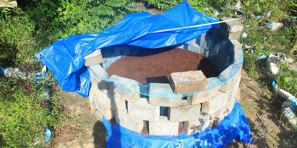
Temporary aerobic compost bins made for relief camps
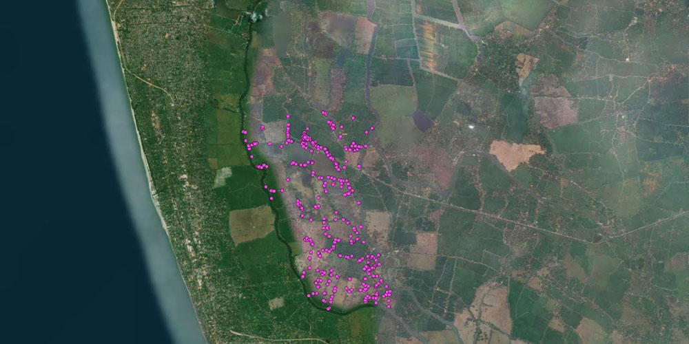
Rapid flood impact assessment in Kuttanad region
September 2018
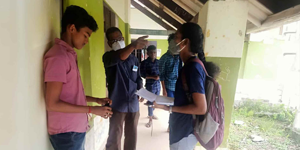
The floods of 2018 were an unprecedented event in recent Kerala history, affecting nearly all regions of the state. Kuttanad, a biogeographic region to the southeast of Alappuzha was one of the hardest-hit owing to several socioeconomic and geographic factors. Questionnaires were prepared to carry out surveys on socio-economic parameters, structural damage analysis of households and public institutions, the impact of the flood on water, sanitation services, and public health in various panchayats of Kuttanad. The data collected was then shared with a team of experts for analysis and to recommend suitable paths ahead. Despite lack of expertise and minimal training, we find there was a reasonable degree of consistency between volunteer observations and expert findings of structural damages. Open-source tools such as Open Data Kit (ODK), QGIS (Quantum GIS), OSM Tracker (Open Street Maps) were used for this assessment. One month after the devastating floods, on 19 September 2018, Canalpy volunteers were engaged in the collection of flood mapping data of Kuttanad which was later compiled to prepare a flood map.
The team during socioeconomic survey
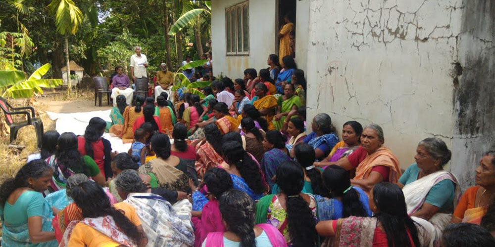
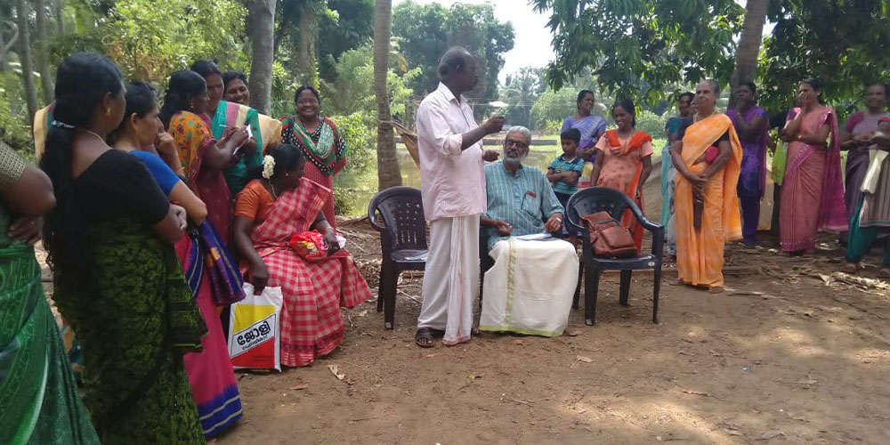
Kerala's first community disaster management plan in Nedumudy panchayath
December 2019
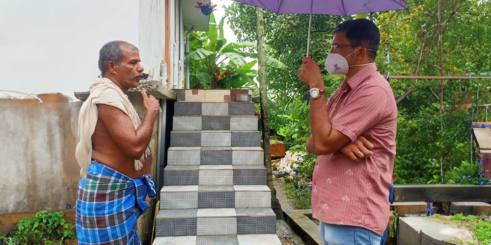
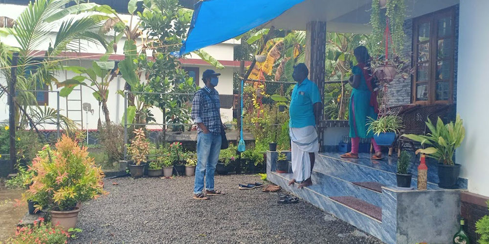
We collaborated with Nedumudi Grama Panchayath to prepare India’s first community disaster management plan initiated by KILA and KSDMA. As part of the “Nammal Nammukkai” mass campaign by the Government of Kerala, all the Gram Panchayats and Municipalities of the state participated in the preparation of a disaster management plan with the help of the local community. The contents of the planning document included local self-government – general information, Climate change, and disaster risk analysis, disaster response plan, mitigation measures, and social empowerment, resources and capabilities, project proposal for disaster mitigation, important phone numbers etc. The data was collected from ward members, volunteers, Asha workers, Kudumbasree members, government agencies like Panchayats, agriculture Offices, hospitals, block Panchayats, Civil Supplies Office, schools, etc.
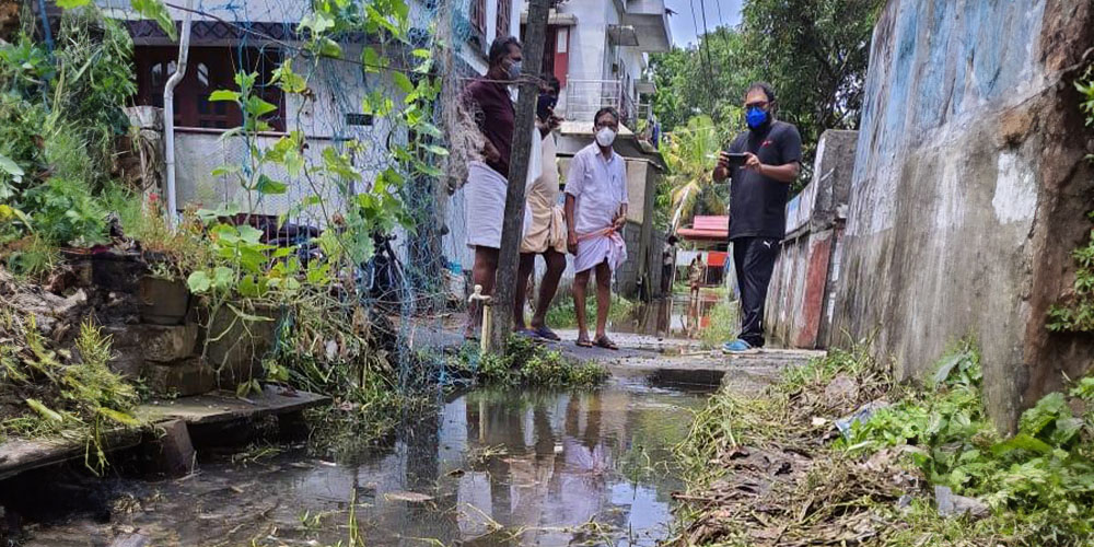
Ward level Urban flood study of Alappuzha town
December 2019
With the recurring floods in Alappuzha town, it’s now affecting the areas that have never been flooded before. Canals overflowing, sewage entering nearby houses, and water receding slowly creating stagnation for extended periods became frequent sights. It is in this context that CANALPY, in cooperation with the Alappuzha Municipality, decided to formulate a comprehensive flood relief plan for 16 most flood-prone wards in the town out of 52 wards. Initially, a comprehensive study of the floodplains and canal network covered 6 of the most flood-prone out of these 16 wards. The CANALPY team worked with municipal councillors and local volunteers of respective wards to make the exercise participatory. Currently, the team is working on incorporating these ideas into the annual plans of the Municipality to arrive at context-relevant interventions.
Assessment of flood risks for Local level disaster management Kainakary Panchayat
With the floods of 2018 in the state of Kerala, the state government took an initiative for risk assessment and a disaster management plan at the local government level. However, this initiative failed to look at micro-level risk assessment to reduce the negative impacts. This study focused on risk assessment taking the case of Kainakary Grama Panchayat of Kuttanad Region in Kerala, which was one of the worst affected regions in the floods of 2018. The findings of the study called for the importance of understanding the concept of risk, familiarizing with the context of the region, and the involvement of the local community and the local authorities for an effective risk assessment. As an outcome of the study, a methodology was devised to assess the risk rooted in the jurisdiction of the lowest administrative unit of the gram panchayat. It had also the potential to develop into a protocol for risk assessment that could be executed with local capacity and participation.
Sustainable housing solutions for flood-prone areas: Case study-Kuttanad region
To develop designs for Adequate, Affordable, and Ecologically Sustainable Housing for Flood-prone regions in the Kuttanad region, Kerala in light of the Flood-Disaster Event, 2018 a study was conducted. With this study, CANALPY examines the tenets of sustainable housing and develops a framework for gauging housing sustainability in the flood-prone Kuttanad region in Kerala. The preliminary phase of the study mainly concentrated on the pre-existing issues within the geography, housing, and socio-economic conditions in the context of floods. Nedumudy and Kainakary panchayats in Kuttanad taluk were selected for the preliminary study as they are the most affected and vulnerable areas in Kuttanad. In the second phase, an in-depth study of present housing conditions and construction patterns of houses built under the LIFE mission in the Kainakary region post-2018 floods is carried out. Developed a better understanding of technical and financial challenges associated with LIFE house construction and raised awareness of the various factors that shape them and a design was developed and proposed for affordable housing in the study area. CAREER
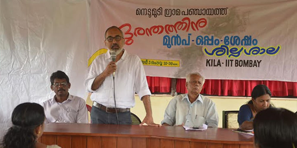
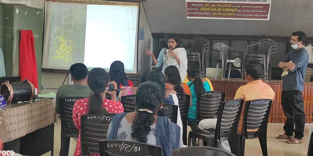
Climate Change and Kuttanad -Seminar
In 2022, a seminar was organised in collaboration with IIT Bombay,KILA and Alleppey Zilla Panchayat, focusing on the survival strategies of Kuttanad in the face of climate change. The seminar addressed various aspects, including drinking water, disaster preparedness, education, agriculture, and sanitation, shedding light on strategies to cope with climate-induced challenges.